
PAS128 Utility Mapping Services
The Balance of Time & Effort against Quality & Confidence
The PAS128 standard identifies 4 categories of survey that weigh up increased survey time and effort against greater levels of detail and therefore confidence in the final deliverables.
Survey Type D: Desktop Utility Record Search
Survey Type C: Site Reconnaissance
Survey Type B: Non-Intrusive Utility Detection
Survey Type A: Verification, inc. Excavation
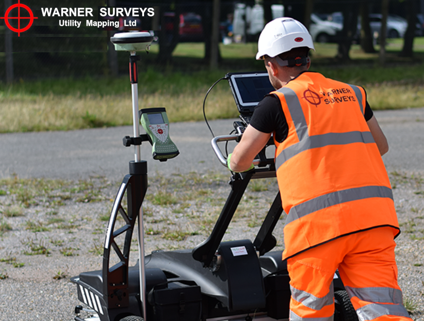
Latest Technology
All levels of PAS128 utility surveys are carried out by WSUML, right up to vacuum excavation of trial pits or trenches to give the highest possible confidence in the survey at hand.
Post Processed Data
Where specified (in discussion with the client), post processing of the data can be carried out. This further enhances the quality of the deliverables.
Need us to Produce a Topographical Survey for use as a Base Map?
WSUML uses the latest Electro-Magnetic Location (EML) and Ground Penetrating Radar (GPR) equipment. This along with surveying using GPS and / or Total Station, ensures the best positional accuracy to overlay results on either supplied topographical survey, or one we have surveyed ourselves.
Case Studies:
See our PAS128 related case studies here.
Contact Us:
Please get in touch with Senior Survey Manager, Ian Stephens, to find out more
""Apologies – I don’t think I ever replied to say thank you for all your work on this! It is much appreciated…""
"Mr W, Surveyor, Media Studio" Aug 2019